Your shopping cart is empty!
£0.00
£0.00
 Imray Chart Pack Firth Of Clyde
Free shipping on all UK Mainland orders over £100
Orders received before 3pm shipped same day
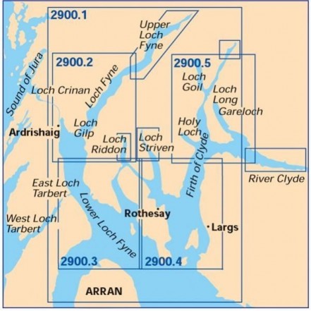
The third pack in the popular Imray 2000 series packs, this comprises five charts of the popular sailing area of the Upper Clyde, provided in a durable plastic wallet. Scales vary, all Datum WGS84.
This pack includes:
2900.1 The Upper Firth of Clyde and Loch Fyne, scale:1:130 000.
2900.2 Loch Fyne - Ardrishaig to Inveraray, scale: 1:50 000.
2900.3 Lower Loch Fyne and Inchmarnock Water, scale: 1:50 000.
2900.4 Upper Clyde, scale: 1:50 000.
2900.5 Loch Long & Gareloch, scale: 1:50 000.
2900.6 Kyles of Bute and Burnt Islands, scale: 1:50 000.
2900.7 Lower Clyde and Approaches, scale: 1:160 000
Outboard Offers View all
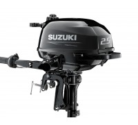
Suzuki DF2.5 Outboard Standard Shaft
Limited price drop deal on the Suzuki standard shaft DF2.5 outboard. Only while stocks last!The Suzu..
£755
£690
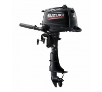
Suzuki Portable Outboards
The brand new 4hp, 5hp and 6hp models are lightweight, easy and quiet to use, incredibly reliable pl..
£1,150 - £1,250
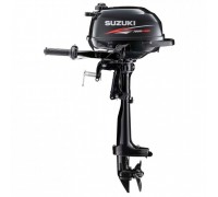
Suzuki Ultra Lightweight Outboard Motors
The lightest 2.5hp four stroke outboard available!Weighing only 13.5kg for the short shaft, the DF2...
£755
£715

