Your shopping cart is empty!
£0.00
£0.00
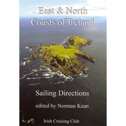
 Imray Ireland East & North Coast Sailing Directions
Free shipping on all UK Mainland orders over £100
Orders received before 3pm shipped same day
Covers the N and E coasts of Ireland from Carnsore Point up to Bloody Foreland. This new edition has full colour plans and photos (mostly aerial) and is a no-expense-spared production. There is a companion volume (PIL0550) which covers the other half of the Irish coastline. Tidal stream diagrams, and useful appendices from waypoints to where to eat. HB. 194pp.
Outboard Offers View all
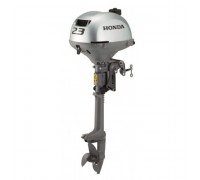
Honda 2.3HP Outboard Engine
The Honda BF2.3 is a single cylinder 4-stroke outboard engine designed to spin freely with the first..
£820
£770
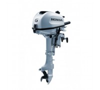
Honda 6HP Outboard with Charge Output
Compact, portable and easy to use, Honda's new range of portable outboard engines are packed fu..
£1,485
£1,399
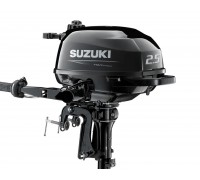
Suzuki DF2.5 Outboard Standard Shaft
Limited price drop deal on the Suzuki standard shaft DF2.5 outboard. Only while stocks last!The Suzu..
£755
£675
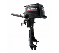
Suzuki Portable Outboards
The brand new 4hp, 5hp and 6hp models are lightweight, easy and quiet to use, incredibly reliable pl..
£1,200 - £1,290
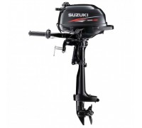
Suzuki Ultra Lightweight Outboard Motors
The lightest 2.5hp four stroke outboard available!Weighing only 13.5kg for the short shaft, the DF2...
£755

